
The Bright Future of Navigation Apps: How AI and AR Are Transforming Google Maps, Waze, and Citymapper
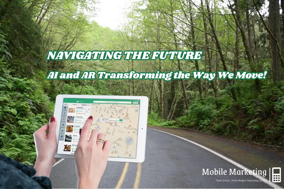
The way people navigate cities has dramatically changed, thanks to the rise of AI in maps and AR directions. Traditional map-based navigation is evolving into smart transportation solutions powered by artificial intelligence and augmented reality. Apps like Google Maps, Waze, and Citymapper are leading this transformation, integrating location-based technology to provide real-time traffic updates, optimized routes, and interactive AR-based directions.
In this in-depth review, we analyze how AI and AR are shaping the future of navigation apps, compare the strengths of the top navigation tools, and explore upcoming trends. If you’re looking for the best navigation app that suits your needs, this guide will help you decide.
Table of Contents
1. AI-Powered Route Optimization: Making Navigation Smarter
How AI Enhances Route Accuracy
AI is revolutionizing navigation by analyzing real-time data, predicting congestion, and offering personalized route suggestions. Here’s how the top apps utilize AI:
- Google Maps: Uses machine learning to detect traffic patterns, suggest alternative routes, and predict delays based on past trends.
- Waze: Relies on community-driven reports where users update road conditions, police alerts, and accidents.
- Citymapper: Specializes in public transit optimization, using AI to analyze live bus, subway, and train schedules.
Comparison: AI in Route Optimization
| Feature | Google Maps | Waze | Citymapper |
|---|---|---|---|
| AI Traffic Predictions | ✅ Advanced | ✅ User-reported updates | ✅ Public transport focus |
| Personalized Route Suggestions | ✅ Yes | ❌ No | ✅ Yes |
| Live Traffic Data | ✅ Yes | ✅ Yes | ✅ Yes |

2. AR Directions: Enhancing Navigation with Augmented Reality
How AR Improves Navigation
Augmented Reality (AR directions) is making navigation more intuitive by overlaying real-time directions onto physical surroundings.
- Google Maps: Introduced Live View, which uses AR to place arrows and street names onto the real-world view through your phone’s camera.
- Waze: Currently does not support AR navigation.
- Citymapper: Experimenting with AR indoor navigation to assist travelers in complex subway systems and large transit hubs.

Comparison: AR Features in Navigation Apps
| Feature | Google Maps | Waze | Citymapper |
|---|---|---|---|
| AR for Walking Directions | ✅ Live View | ❌ No | ✅ Yes |
| AR for Indoor Navigation | ✅ Airports, malls | ❌ No | ✅ Subway stations |
3. Smart Transportation: AI-Enhanced Mobility
AI is also reshaping smart transportation, improving public transit, ride-sharing, and micro-mobility options.
How Each App Supports Smart Mobility
- Google Maps: Uses AI to predict public transport crowding levels and integrates real-time bike and scooter availability.
- Waze: Features AI-driven ride-sharing (Waze Carpool) that connects drivers and passengers with similar destinations.
- Citymapper: Specializes in AI-powered public transit recommendations, analyzing passenger flow and delay patterns.
Comparison: Smart Transportation Features
| Feature | Google Maps | Waze | Citymapper |
|---|---|---|---|
| Public Transport Live Updates | ✅ Yes | ❌ No | ✅ Yes |
| AI-Powered Ride-Sharing | ❌ No | ✅ Yes | ❌ No |
| Micro-Mobility Integration | ✅ Bikes & Scooters | ❌ No | ✅ Yes |
4. Location-Based Technology and Future Trends
Advancements in Navigation with AI & 5G
The future of navigation apps is set to improve with faster AI processing, 5G networks, and real-time location-based technology enhancements.
Key Developments:
- Voice AI in Navigation: Google Maps and Citymapper now integrate AI-powered voice assistants for hands-free guidance.
- 5G-Enhanced Real-Time Data: Faster data speeds will improve route calculations and AR overlays.
- Edge Computing: AI-powered navigation will process data locally, reducing response times and enhancing accuracy.

5. Challenges and Ethical Concerns
While AI and AR improve navigation, they also raise some concerns:
- Data Privacy Issues: AI-driven maps track user location, leading to potential privacy risks.
- Over-Reliance on AI: Automated recommendations may not always be accurate.
- Accessibility Gaps: Navigation apps need better voice guidance and wheelchair-accessible route options.
6. Final Verdict: Which Navigation App is Best for You?
| Category | Best Navigation App |
|---|---|
| Best for Driving | Waze (real-time user-generated alerts) |
| Best for General Use | Google Maps (AI-powered and AR-enabled) |
| Best for Public Transit | Citymapper (smart transit recommendations) |
| Best for Walking Navigation | Google Maps (AR Live View) |
| Best for Ride-Sharing | Waze (AI-driven carpooling) |
Overall Winner: Google Maps
While Waze excels for drivers and Citymapper is great for transit users, Google Maps remains the most versatile navigation app, integrating AI in maps, AR directions, and smart transportation solutions into a single platform.
Conclusion
AI and AR continue to redefine the future of navigation apps, making travel more efficient and intuitive. Google Maps, Waze, and Citymapper are at the forefront, each offering unique features powered by AI in maps, AR directions, and smart transportation technologies.
As 5G, voice AI, and location-based technology advance, navigation apps will become even more intelligent, helping users travel with greater precision. However, challenges such as data privacy and accessibility must also be addressed for a truly inclusive navigation experience.
If you’re looking for the best AI-powered navigation app, Google Maps is your top choice, but Waze and Citymapper also offer specialized benefits depending on your travel needs.


3 Comments
Comments are closed.